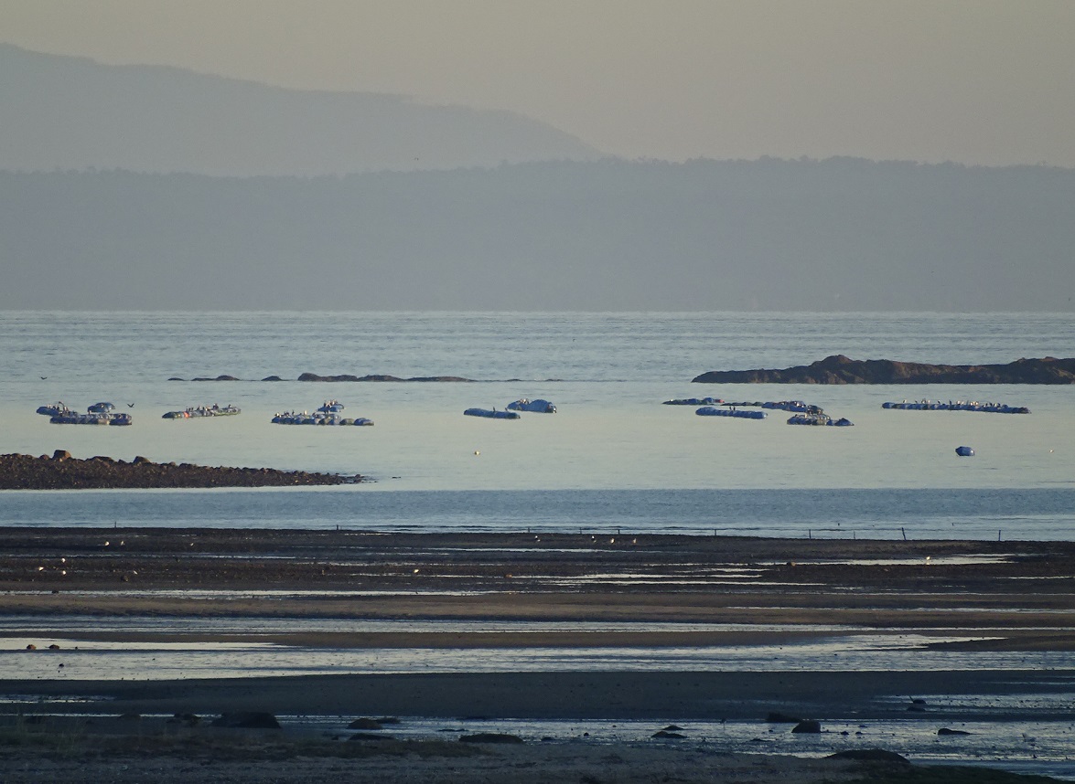
The National Service of Fisheries and Aquaculture (Sernapesca) presented a map viewer that will allow users dedicated to the mussel farming in the Los Lagos region access to relevant information on the activity in real time, such as the toxicological situation of each of the areas of the Bivalve Molluscs Health Program (PSMB) that are georeferenced on the platform.
This map viewer is the result of a project funded in 2019 by the Innovation Fund for Competitiveness (FIC) from the Los Lagos Region, and carried out during the Covid-19 pandemic, which is in the first stage of development, focused on information related to the presence of Harmful Algal Blooms, such as red tide.
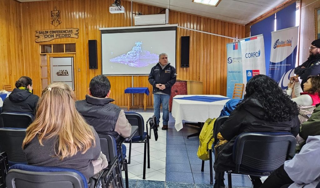
Cristian Hudson, regional director of Sernapesca Los Lagos, highlighted the importance of having a own map viewer available to the entire community: "In simple terms, this map viewer is an application implemented in Sernapesca that will allow us to communicate geographically the toxicological situation of the areas of Bivalve Mollusk Health Program (PSMB). This information we believe will be of relevance to the milling industry and to the authority, allowing through it to make better productive and preventive decisions, especially in the face of red tide events.”
In case of contingencies due to the presence of toxins, this tool will allow to inform the community about the closures of areas and the various affected sectoral agents, such as cultivation centers, management areas and fishing coves. In addition, it will enable public authorities and services to have access to more complete and rapid information, facilitating better decision-making.
The platform has already been presented to mussel producers and representatives of other institutions linked to the activity, in a call made with the collaboration of Regional Strategic Programme (PER) of the Chilean Mejillón, operated by Corfo Los Lagos to make this computer tool known to users and strengthen the public value of this application.
Meet the platform here